There are two translations of Ben Nevis's ancient Scottish Gaelic name. One means "mountain with its head in the clouds," alluding to the fact that its summit is shrouded in mist for an average of 355 days a year. The other carries a rather more literal message: "venomous mountain."
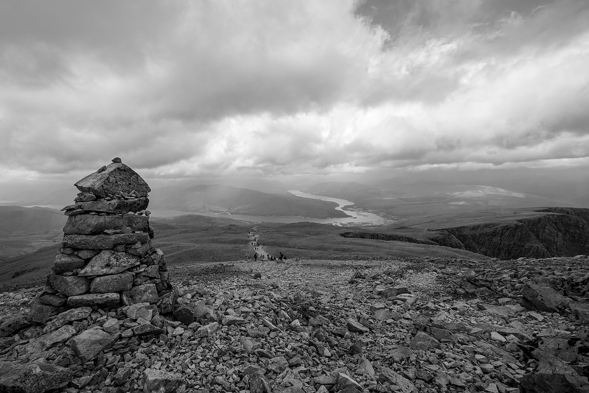
These names became a reality as we finally reached the 4,409-ft summit of Britain's highest peak after almost 3.5 hours of hiking. This was a view back down from where we had come after we had been on the summit. We had ascended to a total elevation of 1,345 metres. The clouds had closed in, some of which were crossing our path. The views looked out over the waters of Loch Linnhe and the remnants of the great Caledonian Forest in the foothills below.
Ben Nevis stands today as the granite headstone of a vast active volcano that existed 400 million years ago. The mountain is ringed by distinctive colouring, which shows its different stages of formation. The bottom section is light grey, and its middle is rusty red, before giving way to scree slopes of dark grey andesite and basaltic rocks, the remnants of the lava that once streamed down.
For the amateur walker unused to map and compass, the only way to safely locate the top is via the hulking navigation 'cairns' that emerge through the mist. The stone 'cairns', one of which is in the foreground, are used to take bearings and map readings when the path is covered by snow and visibility is reduced by the clouds.
Overall, the weather was very good, with great visibility and even moments of blue sky. Only when we descended almost halfway back down did the weather deteriorate consistently, and the rocky steps became slippery underfoot.


