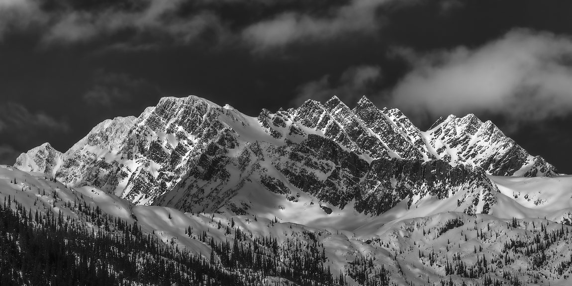
The rugged geometry of Mount Rogers dominates the skyline in Rogers Pass, British Columbia, Canada. With a peak height of nearly 3.2km above sea level, it's a towering spectacle that's snow-capped on average 9-10 months out of each year. There are a half dozen eye-grabbing peaks which spot the horizon in Rogers Pass, but Mount Rogers is the king. But bring a zoom lens if you'd like a close shot of its crown - it's a long, long way up!
Rogers Pass was discovered by Major A.B. Rogers while surveying for the Canadian Pacific Railroad in a successful attempt to find a more suitable rail route through Canada's Selkirk Mountains. By the mid-1880s, the railroad had built a mountain-grade route which wound around the valley below, a great circuitous path corkscrewing its way up towards the pass itself. But frequent avalanches in the region caused closures and cost lives in the early years, so in the 1900s, the Canadian Pacific Railway built the 8km long Connaught Tunnel to reroute rail traffic under the majestic range of Rogers Pass. That tunnel and its younger (but bigger) brother, the MacDonald Tunnel, are still in operation today.
The corkscrew line that once carried people and goods around the original route was abandoned by the railroad more than a century ago. However, the roadbed and ballast are still in place today, making an excellent (and very long) hiking path fully accessible in the summer months. Just be sure to bring bear spray!


