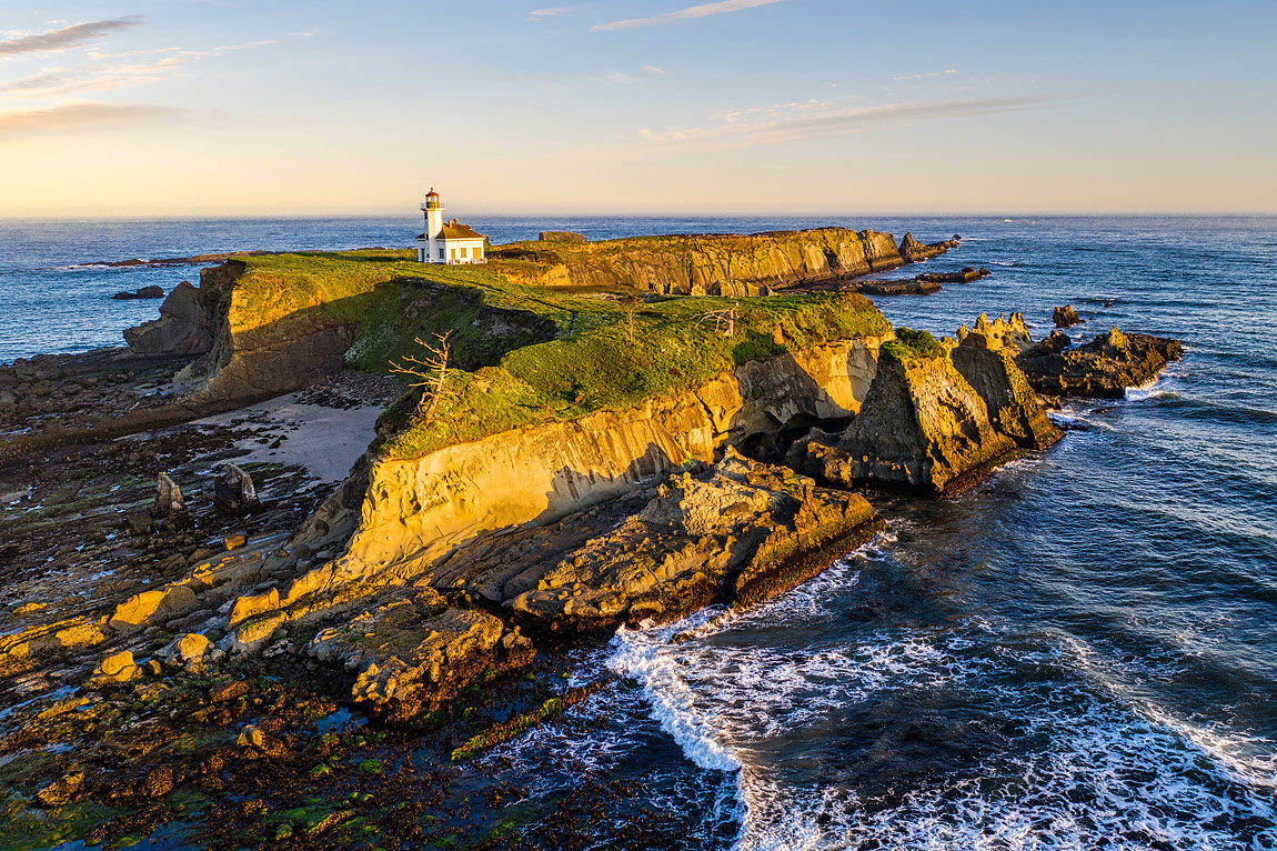
The Cape Arago Lighthouse was built on Lighthouse Island (now called Chief’s Island) as a replacement for the Umpqua LH that was lost in 1863. Cape Arago lighthouse, approved in 1864 was intended to be a larger lighthouse than its present form with a First Order Fresnel lens but Congress did not have enough money since it was during the Civil War it and ended up as a 4th order Fresnel.
The island is shaped like a closed fist with the index and middle finger extended and due to the stormy conditions at the mouth of Coos Bay and the island’s erosion, the current lighthouse is the last surviving of 3 previous lighthouses. The US Coast Guard removed the Fresnel lens in 1993, decommissioned it in 2006 and transferred the grounds to the Confederate Tribes of the Coos, Lower Umpqua and Siuslaw Indians in 2008. Access to the LH and lands is with special permission of the Tribe.
It’s a Sunday morning on Lighthouse Beach just East of Chief’s Island and the old LH grounds. I have my Sony camera, lenses and a Mavic 2 Pro drone to take advantage of an exceptional low tide from a full moon. It is quite a steep climb down to the beach and after first using my camera for shots of the rocks and starfish, I sent the drone up for some areal images one of which is the one here. The advantage of these drones is that they provide some different perspectives hard to achieve otherwise.
An interesting tidbit to the image are the dead trees on the front and right side of the island. It has been confirmed that the abundant use of these trees by the local cormorants to perch while fishing and leave their droppings is what “don them in.”


