

Glaciers leave telltale signs on the landscape, just as rivers do. Rivers carry water — runoff from rain, snowmelt, and groundwater — from higher elevations to lower elevations by the force of gravity. Glaciers carry multiyear snow accumulation at mountaintops in the form of ice, also driven by gravity. This movement causes erosion, which leaves a signature shape on the landscape. Valleys carved by rivers are V-shaped; those carved by glaciers are U-shaped.
Watersheds form where material flows converge. Smaller drainages of water, called tributaries, join the main river. As a result, rivers become wider and longer as they move more water, nutrients, and soil downstream. Glaciers move rock as the ice grinds across the landscape. Lateral moraines are ground rock gathered by a glacier along its sides as it flows down a valley. Medial moraines are the combined lateral moraines of two glaciers as they join. Like rivers, multiple smaller side glaciers increase the width and length of the main glacier.
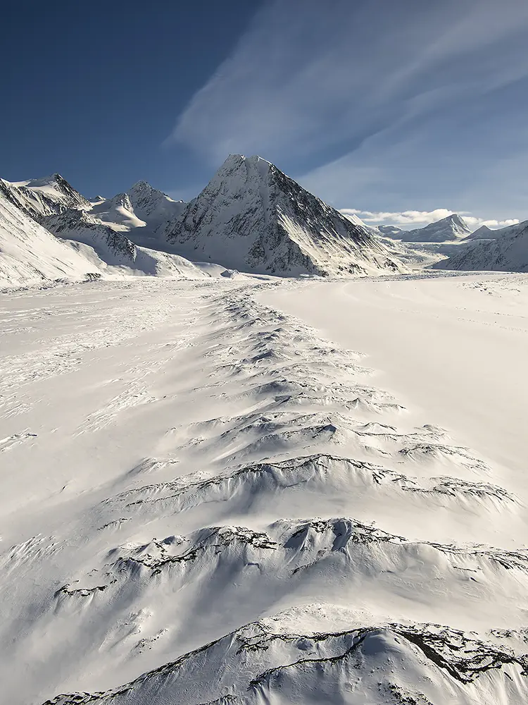
In this photo of Matanuska Glacier, taken from a helicopter with the doors off in late winter, a medial moraine leads to Denmark Peak (8,660 feet) in the Chugach Mountains of Southcentral Alaska. At the base of the peak, a smaller glacier from the left joins the main flow of Matanuska Glacier. Upstream and to the right of Denmark Peak, more rivers of ice converge, contributing to Matanuska Glacier’s four-mile width and twenty-seven-mile length. A leading line helps tell the story of geology and the forces of nature that shape our planet.