

Aerial photography can bring out the sweeping topography of a landscape more so than photographs taken at ground level. Its unique perspective reveals the contours of a landscape and how it changes over a distance. Airplane and helicopter pilots have been blessed with these views for over one hundred years. I have photographed from airplanes and helicopters many times and have come away with some good photos, but it can be quite challenging. Shooting through windows is often compromised by reflections or dirty glass. I prefer doors-off photography on helicopters; however, flight time is expensive, so being able to quickly find good compositions is demanding.
Within the last ten years, consumer drones have transformed aerial photography. They give the drone pilot the luxury of creating better compositions, including composite panoramas from multiple photos. While drone photography is limited to 400 feet AGL (above ground level), I think it provides a more intimate view of the landscape than at higher altitudes.
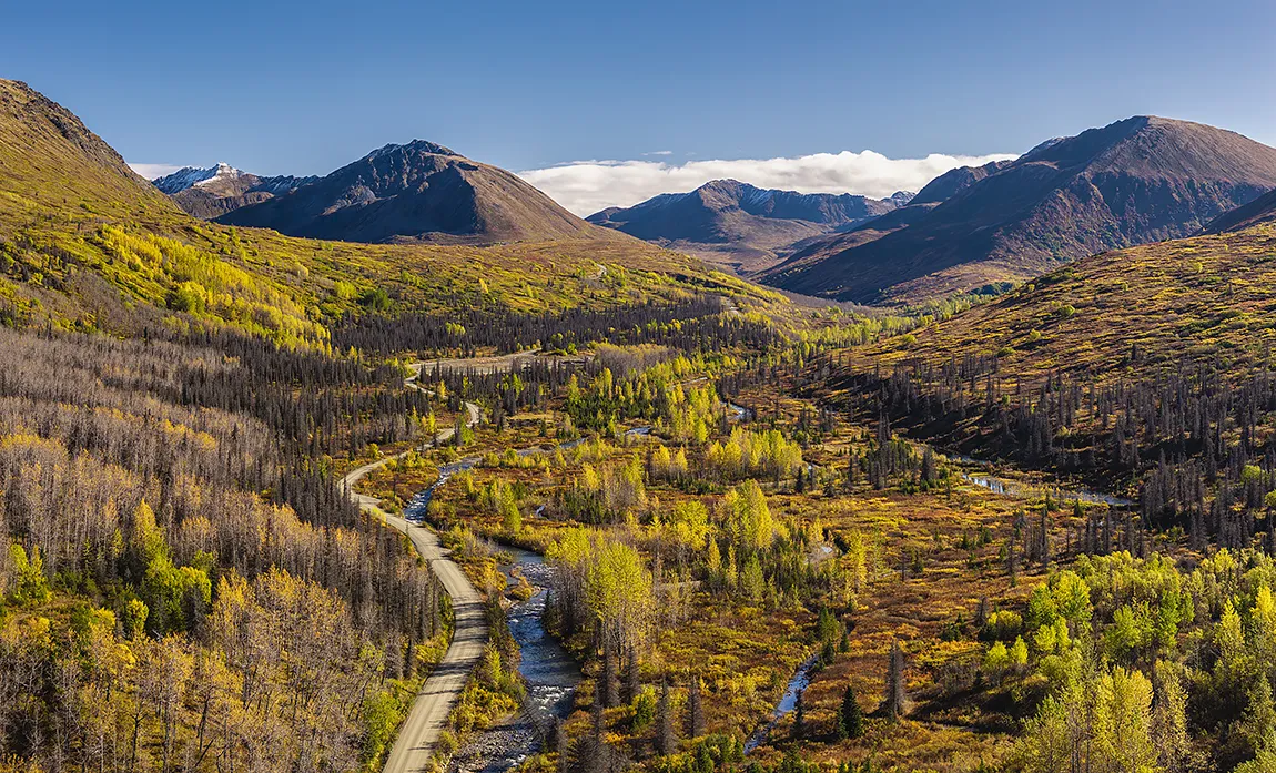
This panoramic composite from six photos was taken with a DJI Mavic 4 Pro drone. It showcases a gravel road winding through a valley, climbing up to an alpine area in Alaska. The valley floor is characteristic of taiga, consisting of boreal forest (spruce, birch, aspen, cottonwood, willows) interspersed with streams, marshes, bogs, and ponds. As the road gains elevation, the landscape transitions to alpine, similar to the tundra of more northern locations. Tundra yields to bare rock and winter’s first snows on the mountaintops. The side-lighting provides some shadowing, which enhances the three-dimensional quality of the panorama. The mixture of yellows on the trees with sienna and reds on the ground are typical of Alaskan autumns.