

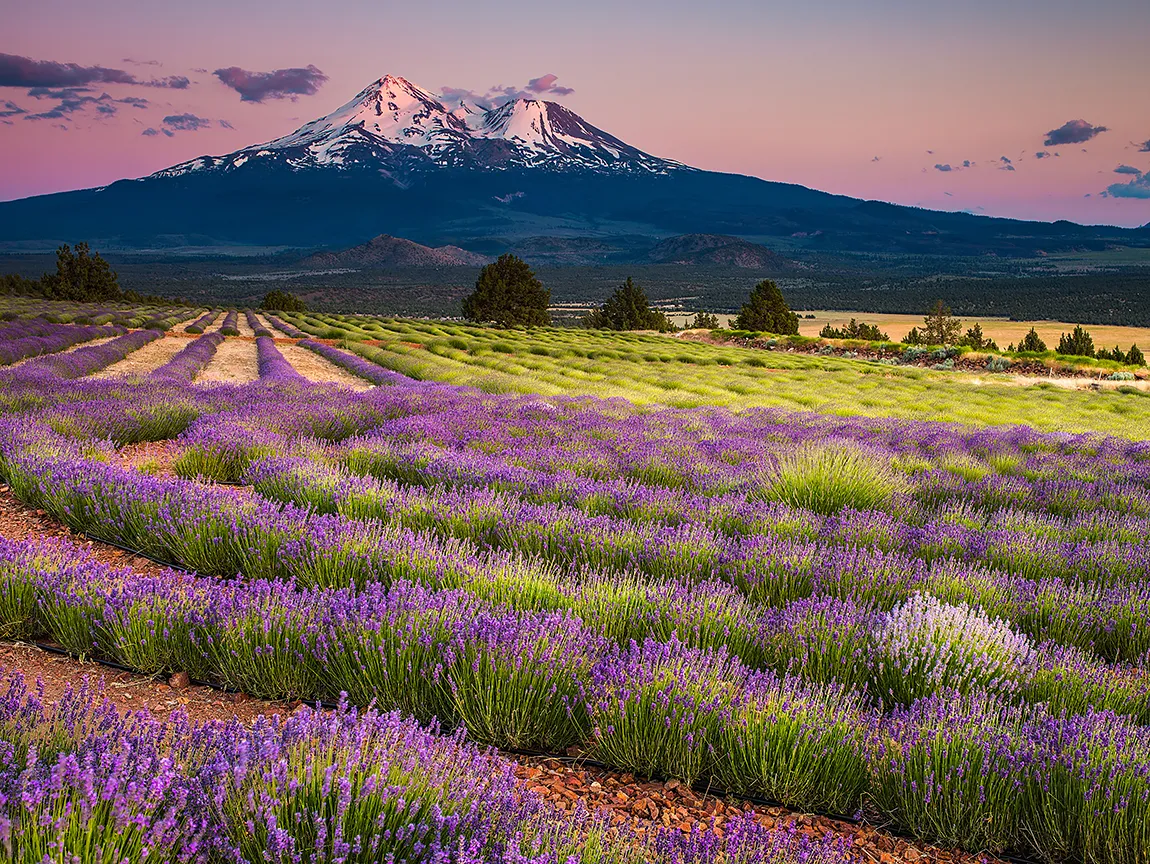
Mt. Shasta from the Shasta Lavender Farms after sunset on the northern slopes of the Little Shasta Valley, California, in early July. This is one of my more successful, fully planned shots I have taken. Having seen an image on the internet of a lavender field with a clear view of Mt. Shasta in the distance, I set out to capture one of my own. After locating the lavender farm and figuring out that early to mid-July would be a peak blooming time, I contacted the owner to get approval for a day to visit and permission to stay until after sunset. The plan was to stay in Yreka, putting my wife and I about 25 miles or a half-hour drive to the lavender fields, it being a rather remote spot on the northern slope. We arrived at the lavender farm in the middle of the afternoon so I could get a feeling for the layout and the shots I wanted to take. As the evening progressed, a breeze came up, causing some motion blur in some of the shots, since I was using a low ISO and slow shutter speed.
Mt. Shasta is the second to last volcano in the Pacific Northwest Cascade Range, which extends from Northern California’s Mt. Lassen to the northern edge of British Columbia. The Cascade Range contains almost 20 volcanoes, the largest being Mt. Rainier at 14,411 ft, but closely followed by Mt. Shasta at 14,162 ft. Some of the other volcanoes are Mt. Hood, Mt. Baker, the Three Sisters, Mt. St. Helens, and Crater Lake. One of the more interesting things about Mt. Shasta is that it is actually two mountains in one. As one can see from the image, there is a second vent/cone to the right of the Shasta peak called Shastina at 12,330 ft, which would make it the third highest in the Cascade Range, just beating out Mt. Adams at 12,280 ft.